
Bryce Canyon
Explore photographs from the place behind the story — the landscapes, landmarks, and details that reveal how this place became what it is today.
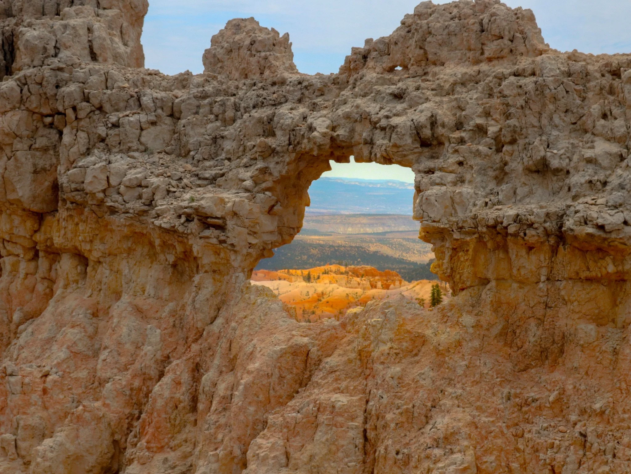
A window in Bryce Canyon’s pale rock frames orange terrain and distant ridges in southern Utah. Openings like this develop as weathering and erosion break apart the rock. It’s an introduction to a landscape whose familiar name doesn’t quite describe what it is.
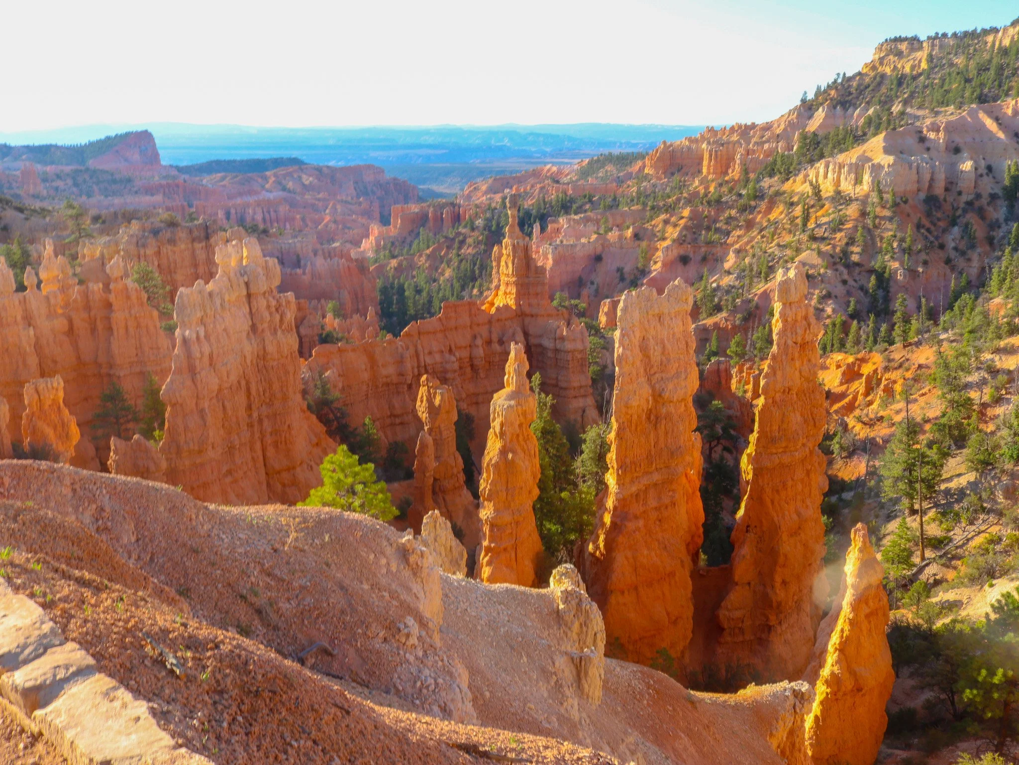
The tall, narrow rock spires at Bryce are called hoodoos. They occur elsewhere in the world, but nowhere are they more concentrated. Here, water enters cracks, freezes, and expands, gradually breaking the rock apart. Layers that wear away at different rates give the surviving formations their uneven shapes.
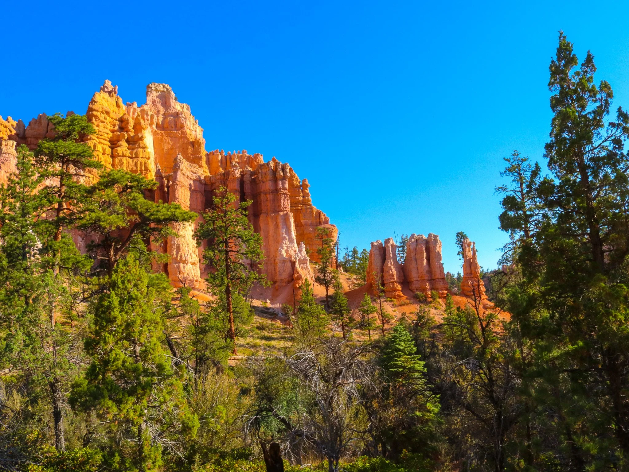
Green pines grow beneath the orange formations along Bryce’s eight-mile Fairyland Loop. I’d expected more of a desert landscape before we descended from the rim. The trees surprised me. Timber also plays a part in the history of how this place came to be called Bryce Canyon.
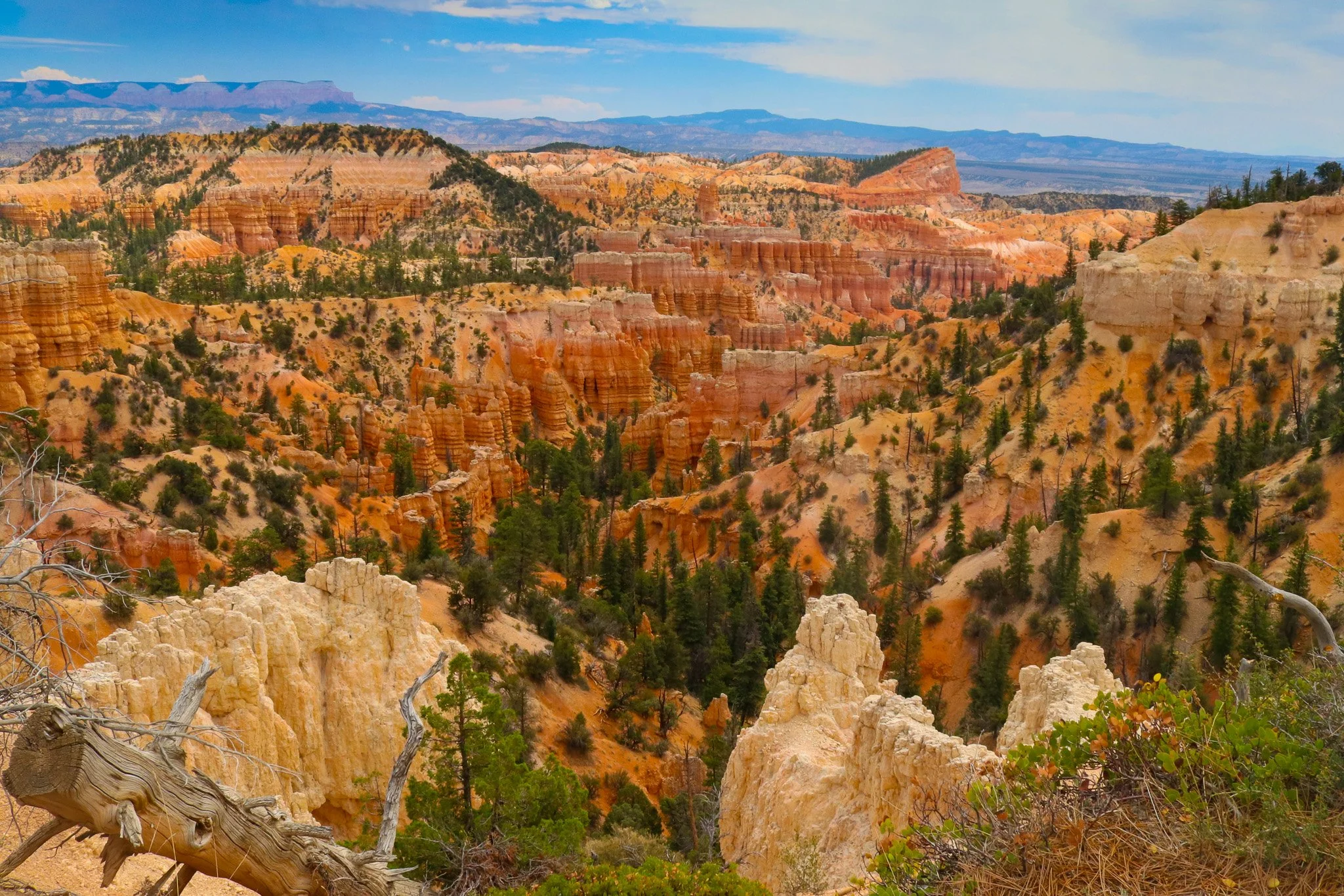
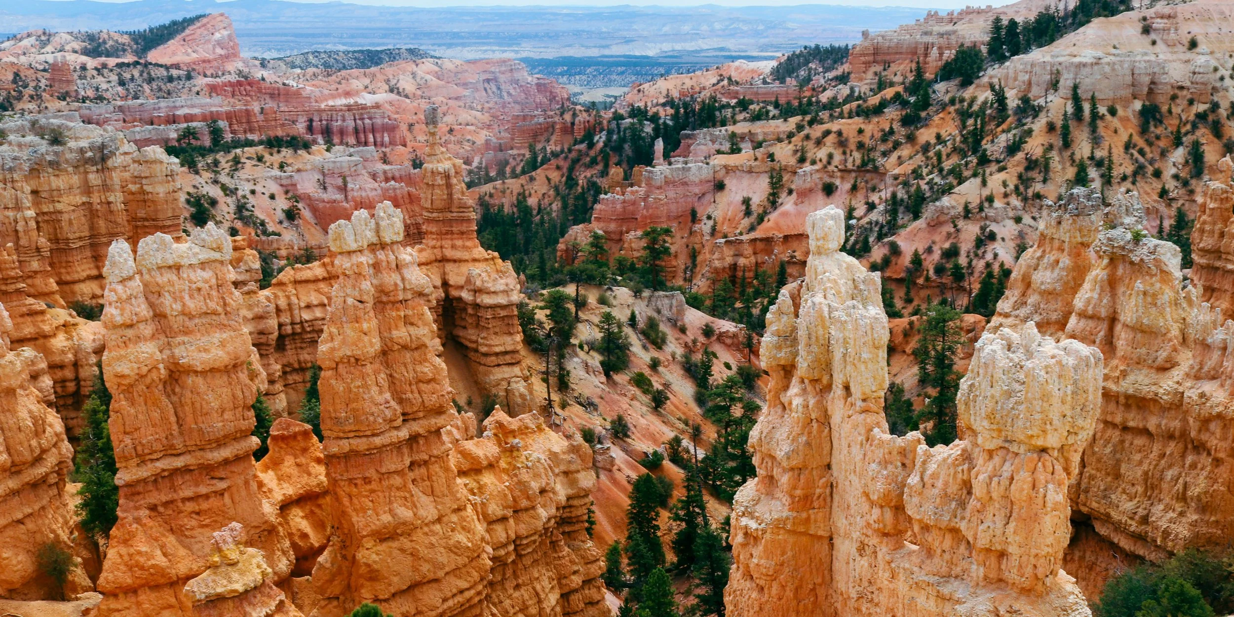
Rows of hoodoos, wooded slopes, and taller rock walls fill this view across Bryce’s amphitheaters. In 1915, a Forest Service supervisor named J. W. Humphrey visited the rim and later recalled staying until sundown. He wanted others to see Bryce too, but reaching it took more than knowing it was there.
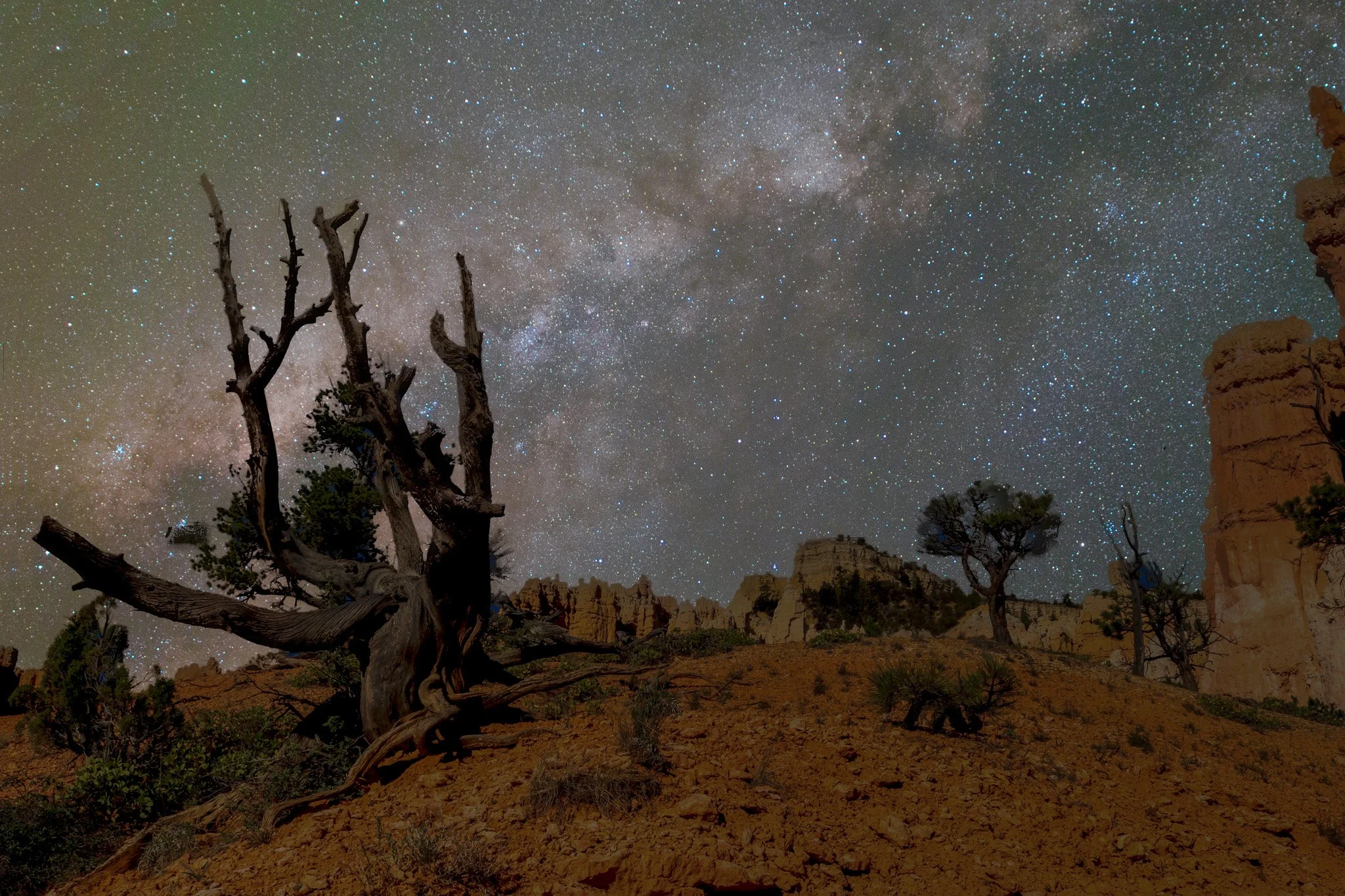
Bryce’s skies are dark enough for the Milky Way to be visible to the naked eye on clear, moonless nights. It became an International Dark Sky Park in 2019. This composite photo combines a Bryce foreground and the Southern Utah Milky as the backdrop.
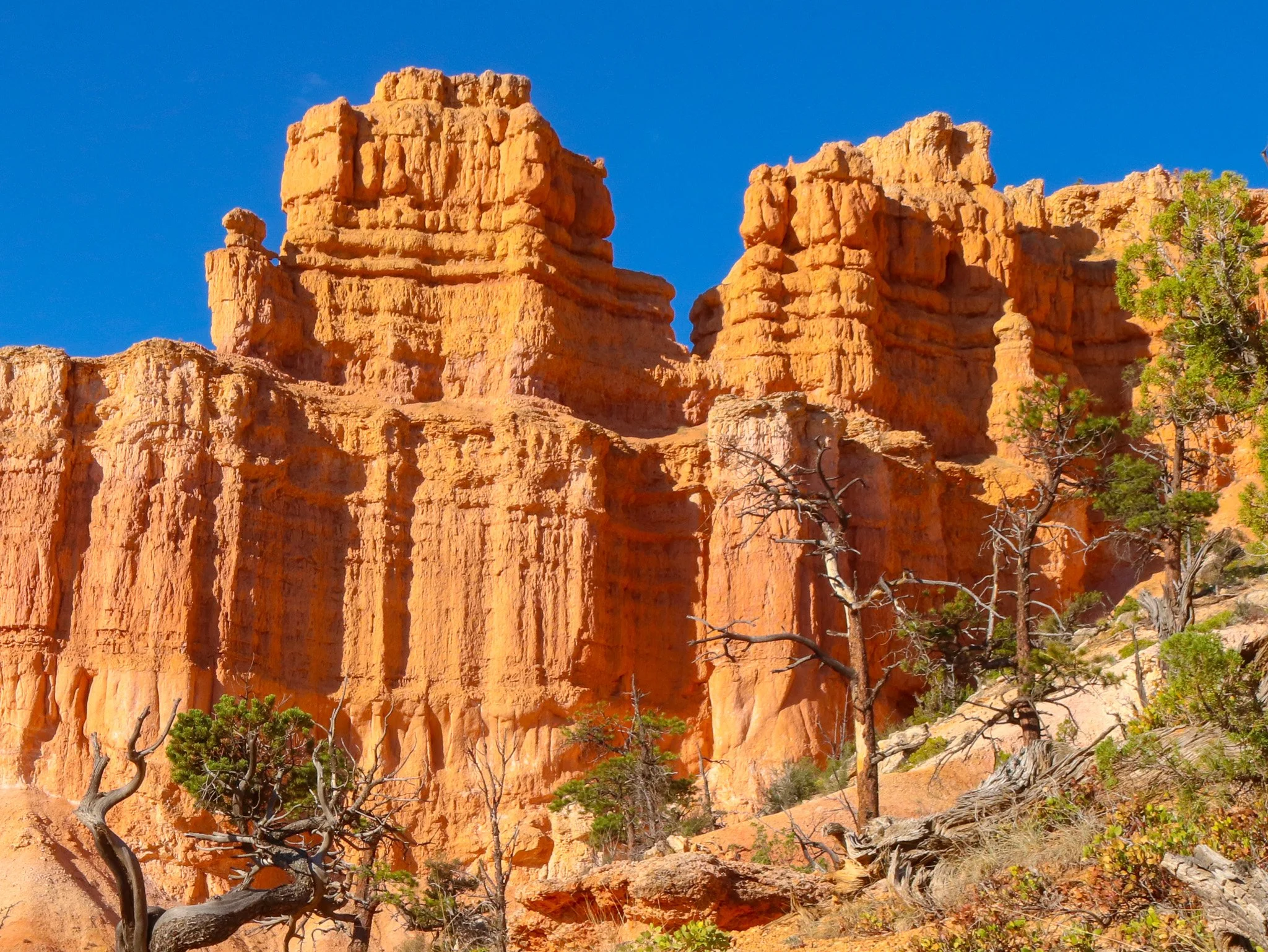
Broad ledges and narrow supports give these Fairyland Loop towers their irregular profiles. Some rock layers resist erosion longer than others, and a harder cap can protect softer rock beneath it. The National Park Service estimates an average erosion rate of two to four feet per century, though individual formations can lose large sections at once.
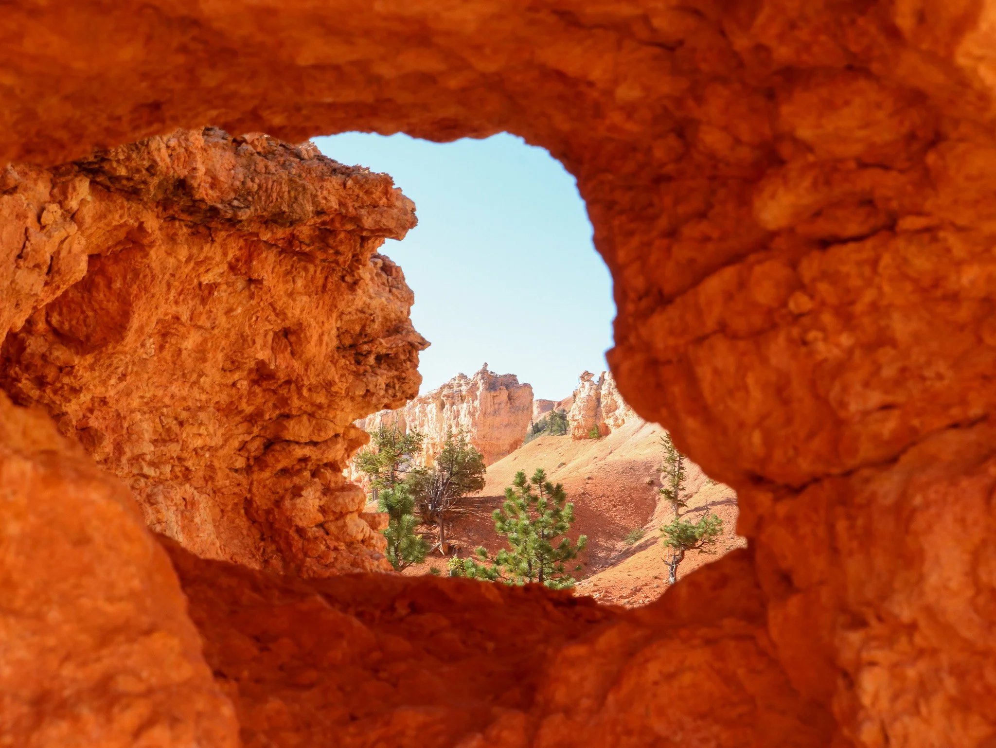
Trees and distant formations appear through an opening in an orange rock wall. The span overhead can eventually collapse, leaving separate pillars on either side. Seen with that possibility in mind, a rock window records a stage in an ongoing process. The shape in this photograph won’t remain unchanged forever.
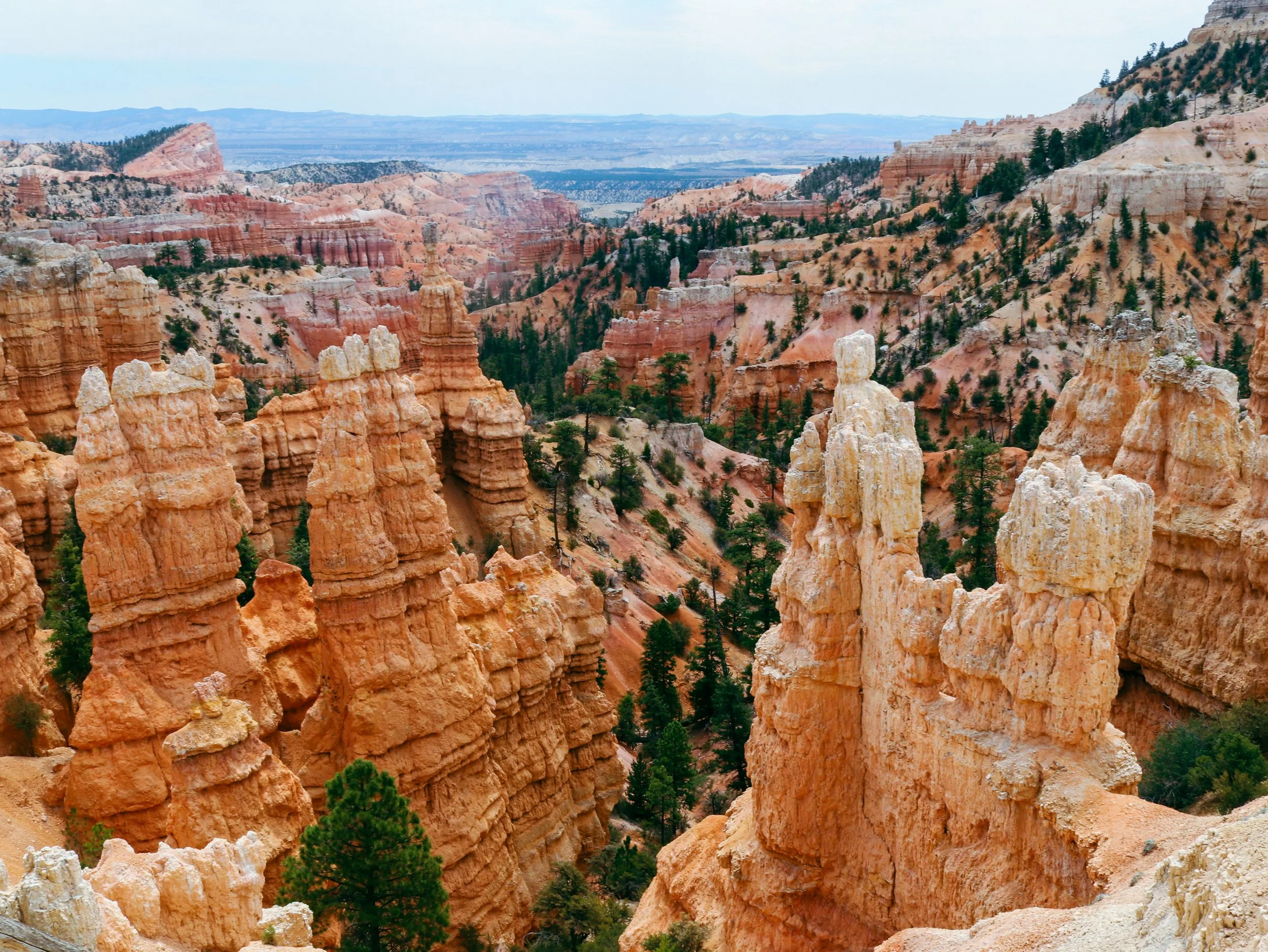
Pale hoodoos rise above wooded slopes at Bryce Canyon National Park in southern Utah. Their uneven ledges and narrow sections develop as some rock layers wear away faster than others. These towers look substantial, but recognizable formations have lost large sections within a single generation.
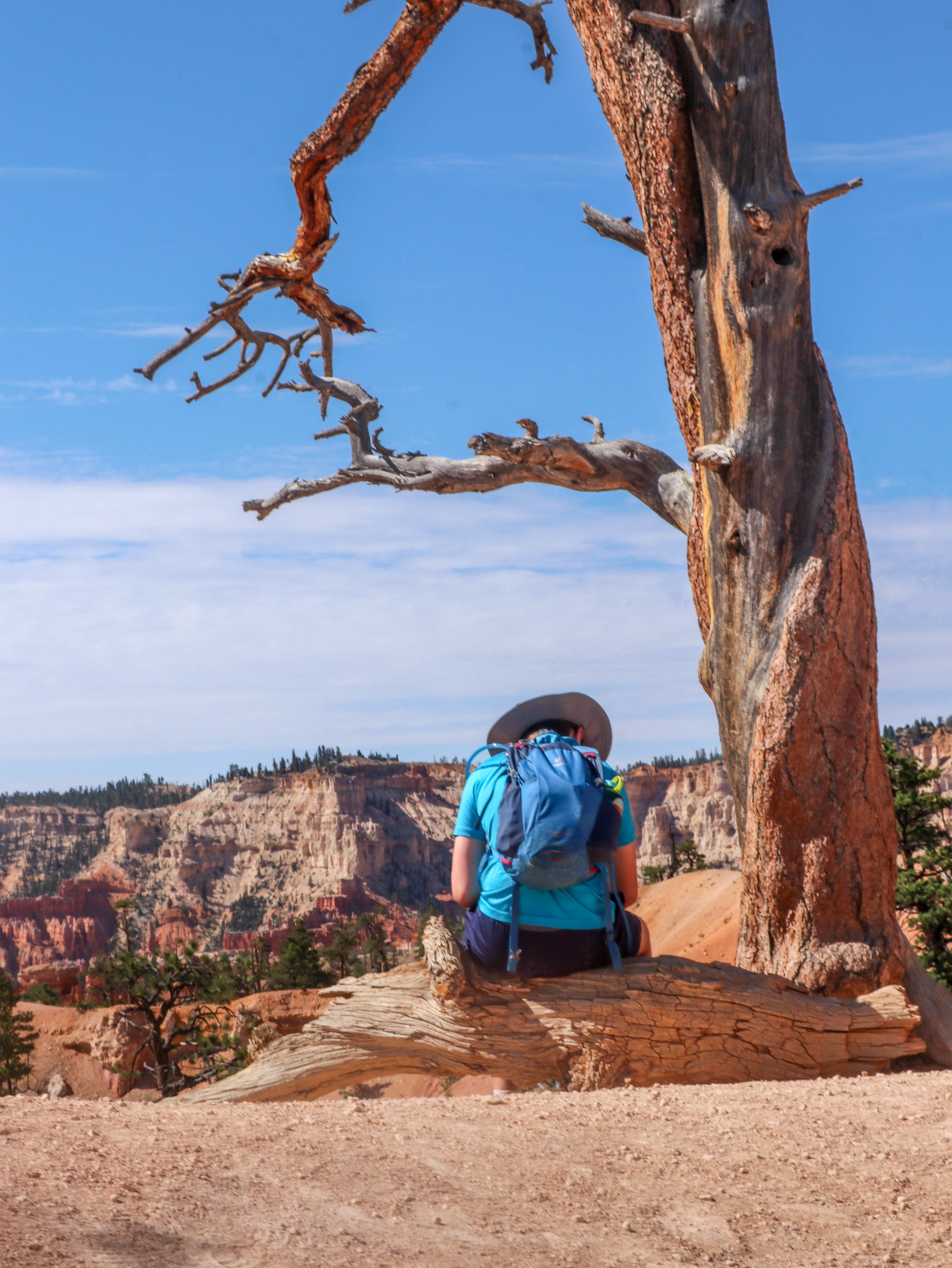
A pause beneath a weathered tree along Bryce Canyon’s eight-mile Fairyland Loop. The trail descends among the hoodoos and returns along the rim, revealing both wooded slopes and open amphitheaters. Walking through this landscape gives the formations a scale that’s harder to grasp from an overlook.

STORY BEHIND THIS PLACE
The photographs show this place as it exists today. Discover the decisions, people, and events that shaped it.