
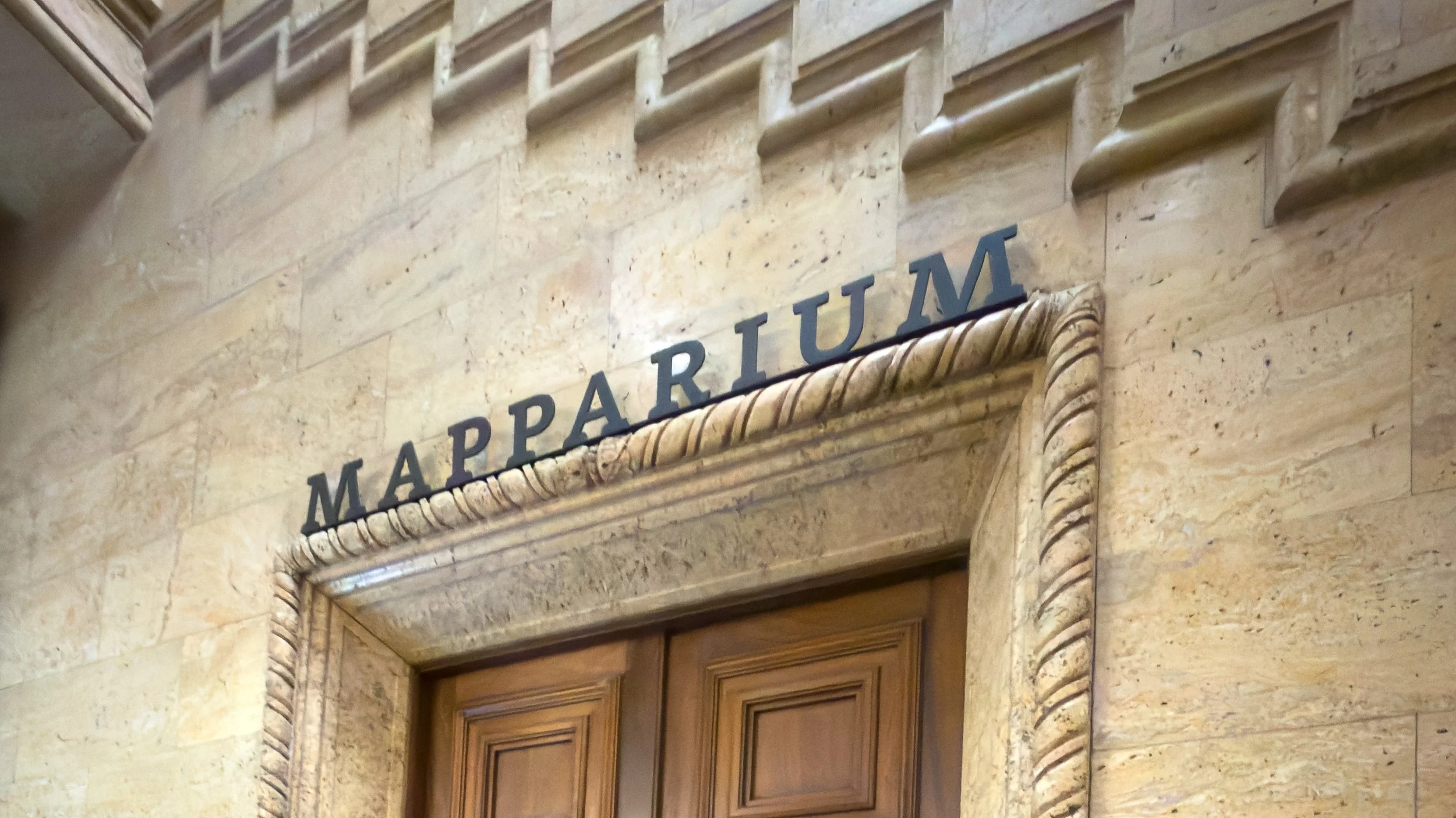
Boston Mapparium Globe
Explore photographs from the place behind the story — the landscapes, landmarks, and details that reveal how this place became what it is today.
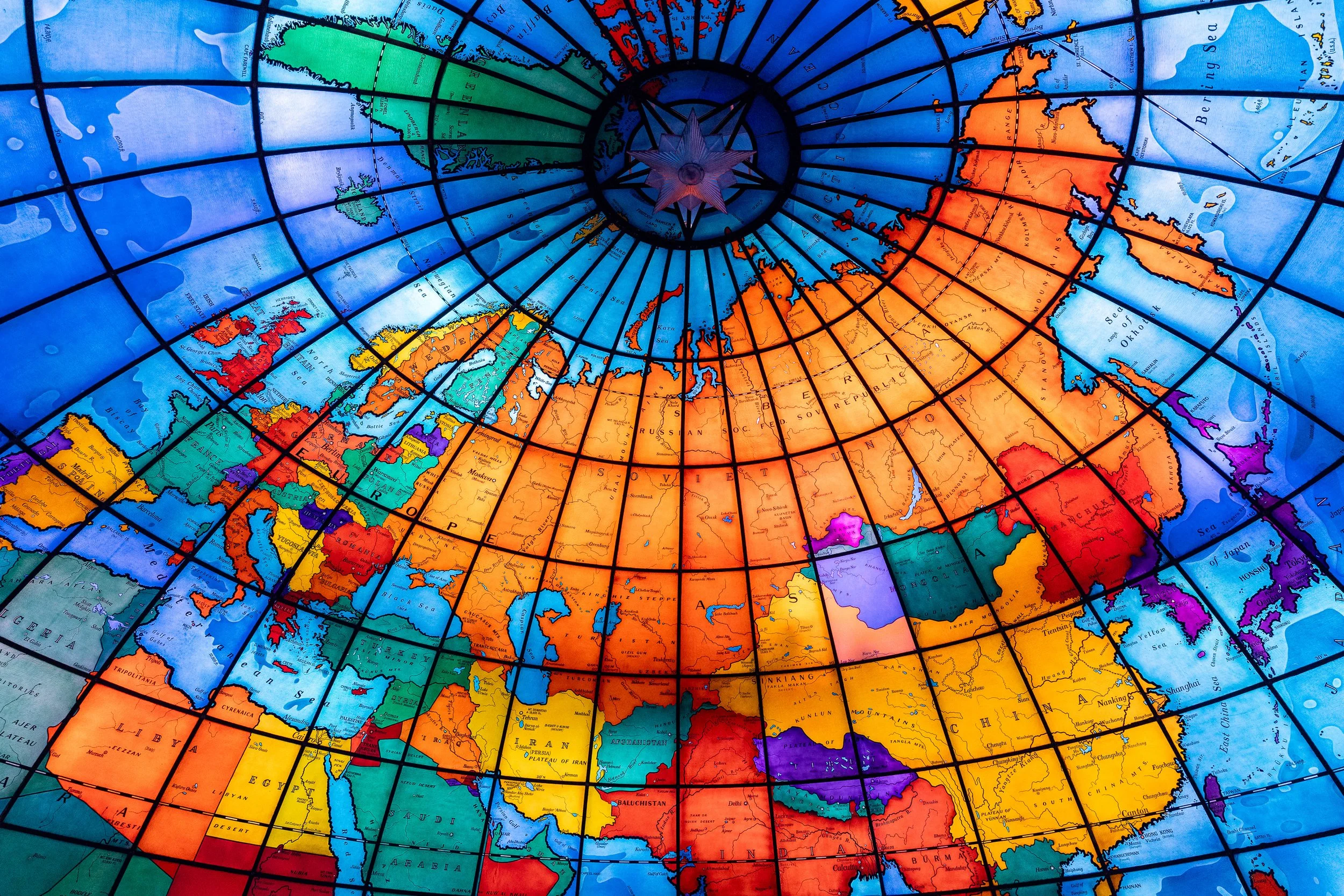
The Soviet Union still stretches across the upper half of Boston’s Mapparium globe, exactly where glassmakers placed it in 1935. The country disappeared in 1991, but its name remains fixed above Europe and Asia. A map designed to stay current had become something else entirely.
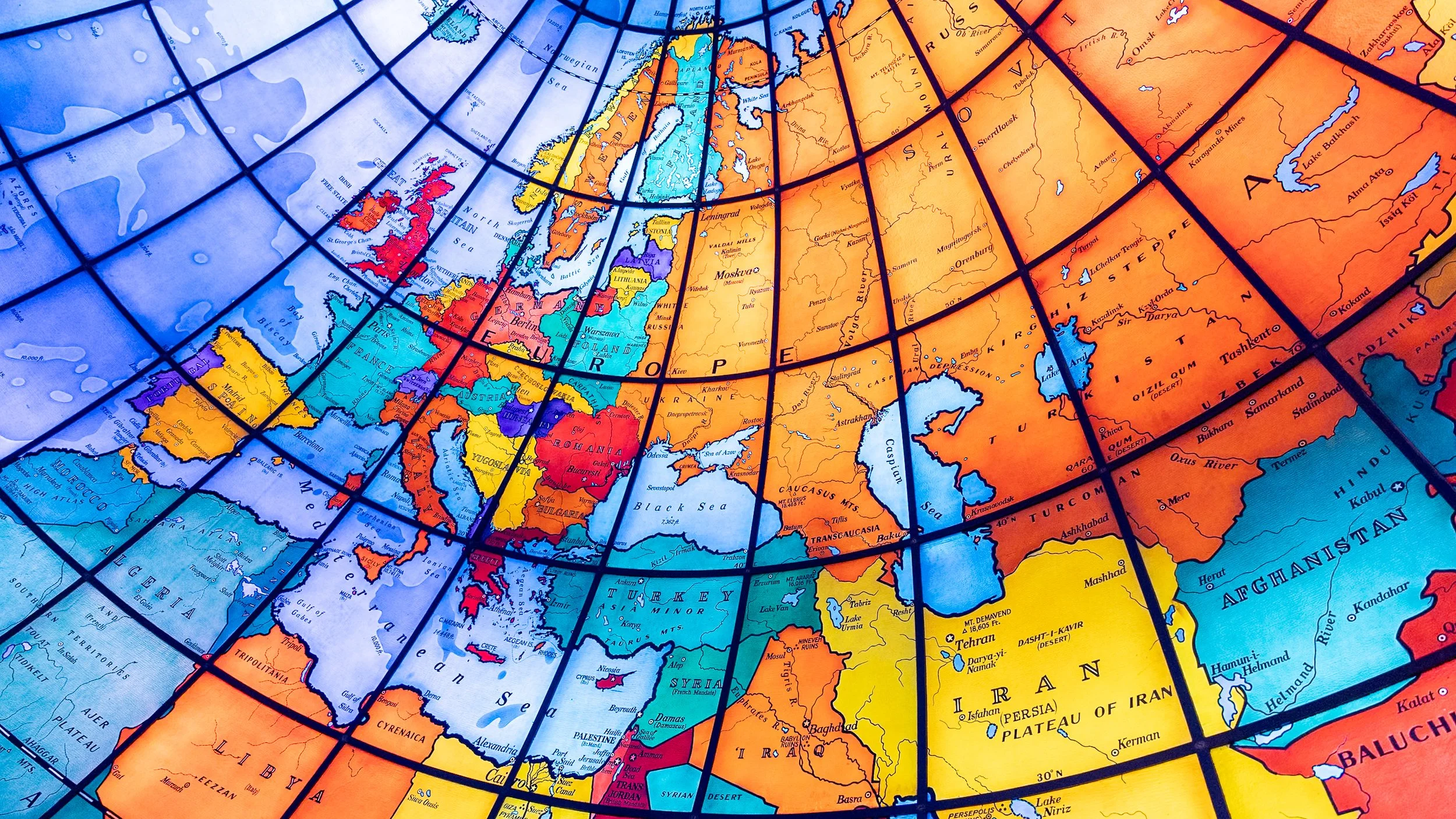
Europe and the Middle East curve across this section of Boston’s Mapparium globe, with countries, territories and mandates labeled as they were in 1935. Much has changed in ninety-one years. Not one of these stained-glass panels has.
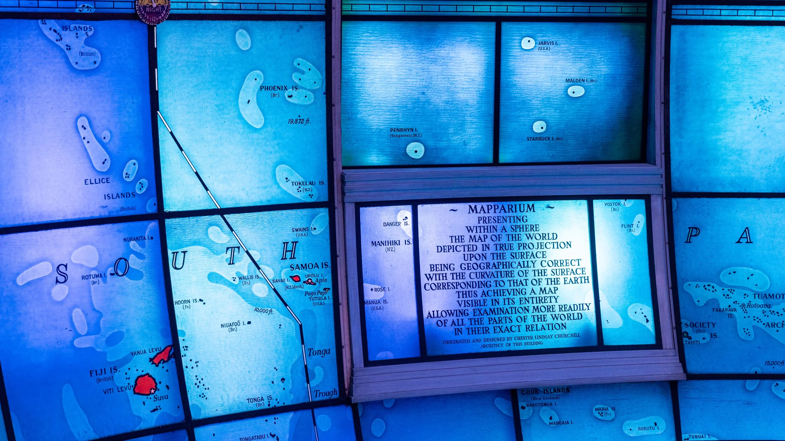
Among the Pacific islands inside Boston’s Mapparium globe, an inscription credits architect Chester Lindsay Churchill and explains what he was trying to build: a world visible in its entirety, with every place held in its “exact relation” to every other. It was an ambitious way to see the world in 1935.
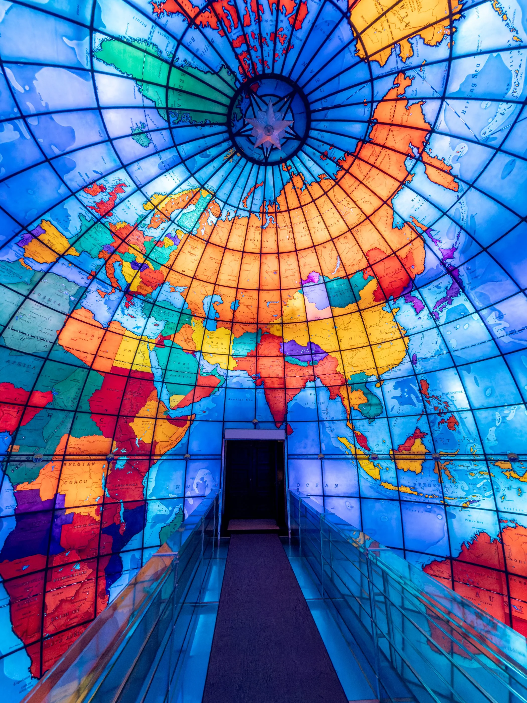
Inside Boston’s Mapparium globe, a glass bridge crosses the equator through the center of a thirty-foot sphere. Instead of looking down at a globe, visitors stand inside one—surrounded by 608 illuminated panels that turn the familiar shape of the world inside out.
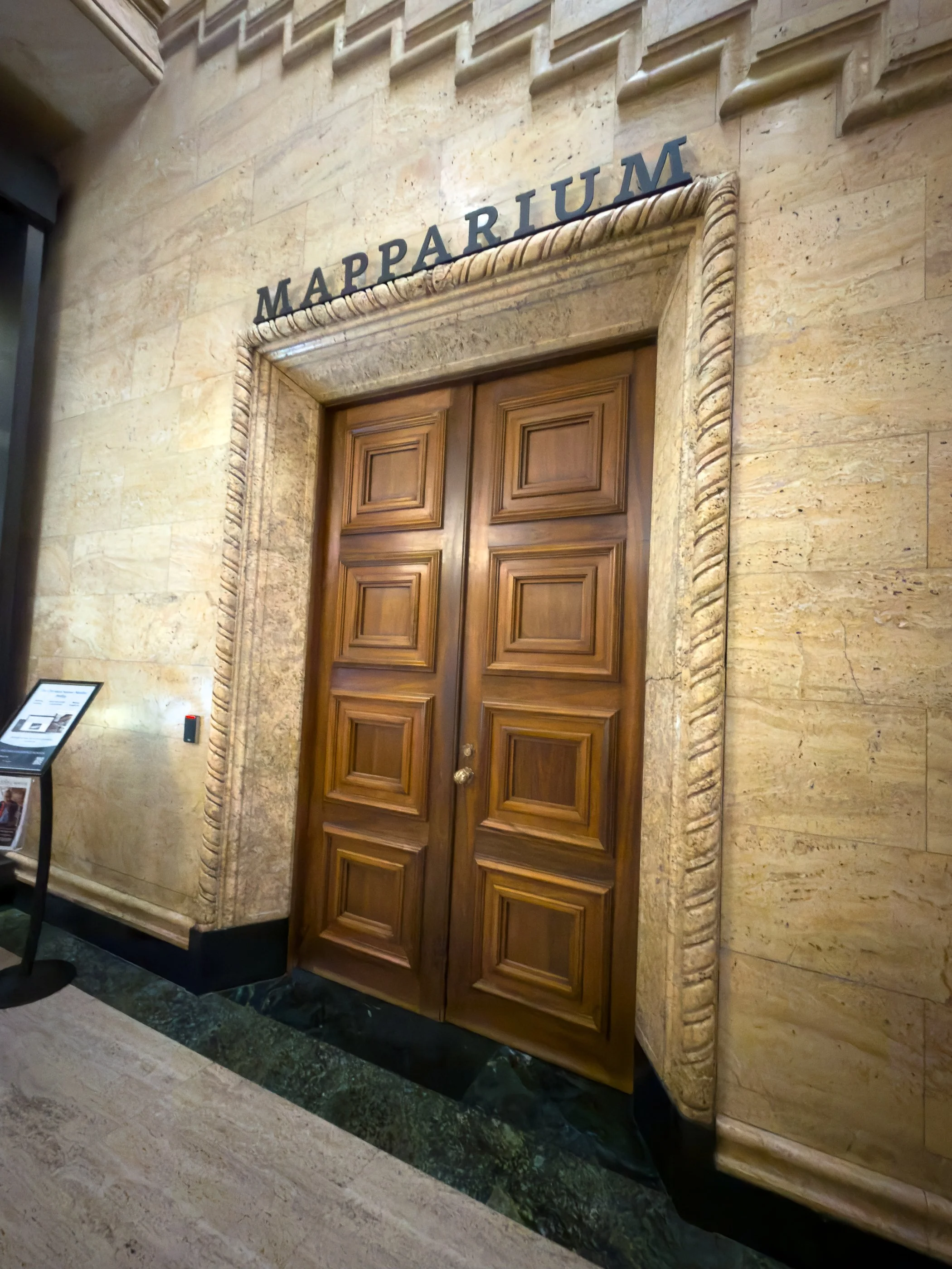
These wooden doors stand inside the lobby of the Christian Science Publishing House on Boston’s Christian Science Plaza. They lead into the Mapparium™ globe, part of the How Do You See the World?™ experience. On the other side is a thirty-foot stained-glass world that has kept the same political map since 1935.
STORY BEHIND THIS PLACE
The photographs show this place as it exists today. Discover the decisions, people, and events that shaped it.